
Environment Canada has issued a severe thunderstorm watch for the Central Okanagan, North Okanagan and South Okanagan with conditions favourable to thunderstorms, strong winds, hail and heavy rain.
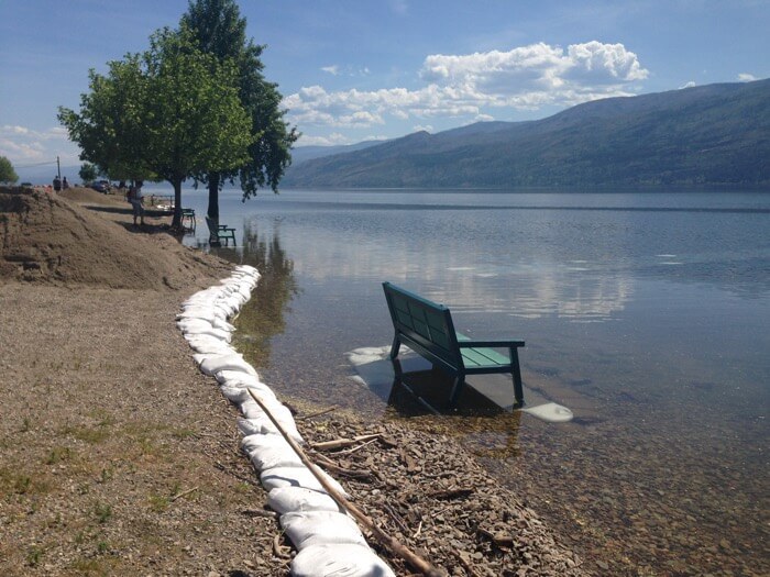 This afternoon the Central Okanagan Emergency Operations Centre received an updated provincial forecast indicating Okanagan Lake levels could increase another 10 cms from today’s level of 343.15 m. With snow remaining at higher mountain elevations, Okanagan Lake is predicted to peak mid-June. Mission Creek levels are also expected to continue to rise and residents are advised to prepare for increased levels.
Latest forecasts show between 5 to 10 mm of rain expected for the Central Okanagan accompanied by wind gusts up to 70 to 80 km per hour starting this afternoon and lasting until Thursday evening. Residents are reminded that the current flooding is a weather driven event and situations continue to evolve. Sudden changes in weather can increase the risk of flooding.
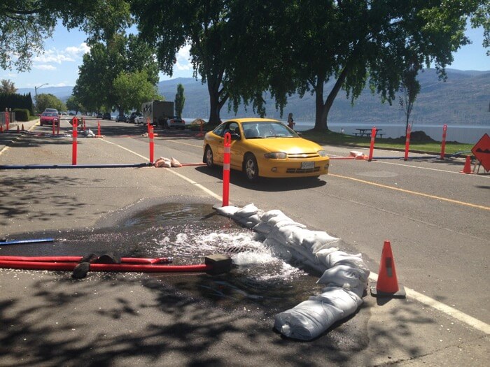
The Central Okanagan Emergency Centre and local municipalities are consistently evaluating flood protection measures to protect critical infrastructure. For more information on how to protect your property and where to find sand and sandbags, visit cordemergency.ca.


0 Comments